Advancing Forest Intelligence through Satellite Data
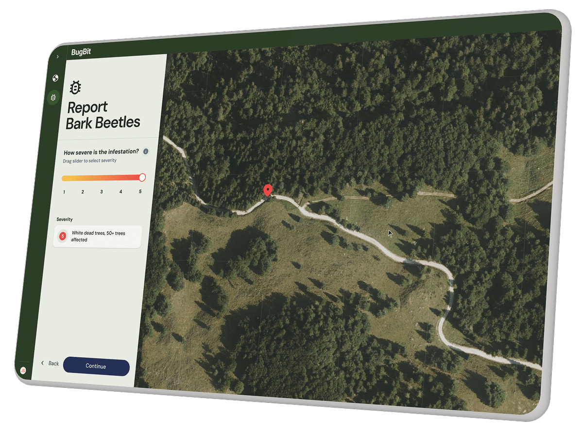
Our work includes developing models for the detection and early prediction of bark beetle infestations, using deep learning and satellite time-series analysis, as well as vegetation monitoring for railway safety, where satellite imagery and spatial analytics help identify and prevent potential risks.
By combining these capabilities, we’re helping transform complex environmental data into actionable insights, enabling faster, smarter, and more sustainable forest management decisions.
Sentinel Hub
Python
PyTorch
MLflow
QGIS
Nuxt 3
AWS
UX Research
Prototype Design
UI Design
European Space Agency (ESA)
Slovenian Forestry Institute
Slovenian State Forests
Slovenian Railways
Benefits
Live Monitoring
Real-time insights into forest conditions through satellite data streams.
Screening of Hard-to-Reach Areas
Satellite coverage enables full-area assessment without field constraints.
Damage Prevention
Early detection and prediction models help stop pest spread and minimize losses.
Forest Health Reporting
Regular, data-driven updates that support long-term forest management planning.
By the Numbers
4+
Regions tested across Central Europe
20M+
data points processed for model training and validation
3
distinct monitoring use cases supported within the ESA ecosystem

